

MapQuest adds Surveillance Layer mapping Flock cameras and license plate readers
MapQuest has introduced an optional Surveillance Layer to its mobile app, overlaying the locations of automated license plate readers and outdoor cameras from Flock Safety and other vendors onto driving routes.
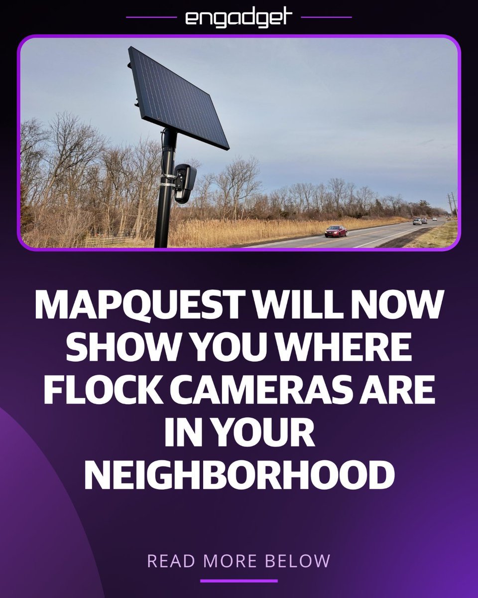
MapQuest has launched an interactive feature called the Surveillance Layer on its mobile platform, allowing motorists to see where automated license plate readers and outdoor surveillance cameras operate across the United States. Positioned alongside standard views such as traffic and road incidents in the map options menu, the optional overlay marks camera locations directly onto driving routes.[4][5][2]
The layer maps surveillance hardware from more than 10 companies, including Flock Safety, Motorola Solutions Vigilant, Genetec, Axis Communications, Axon, Leonardo ELSAG, Neology, Rekor, PlateSmart, Ubicquia, and Verkada, as reported by Mashable and Webulite. The mapping service sources its data from crowdsourced initiatives, integrating OpenStreetMap datasets alongside DeFlock, an open-source project tracking nearly 144,000 license plate reader cameras documented by volunteer field observations.[1][3][5]
The release comes amid mounting public scrutiny and legal challenges surrounding automated license plate reader networks. Law enforcement agencies rely on systems like Flock Safety to track suspect vehicles and investigate car thefts by automatically cataloging license plate numbers, timestamps, vehicle makes, and locations. However, privacy advocates argue the networks amount to mass surveillance, a debate underscored by a recent federal court ruling that suppressed evidence obtained from a warrantless Flock database search.[4][5]
Key facts
- MapQuest launched an optional feature called 'Surveillance Layer' in its mobile app that displays the locations of license plate readers and outdoor surveillance cameras along driving routes.
- The Surveillance Layer displays equipment from more than 10 vendors, including Flock Safety, Motorola Solutions Vigilant, Genetec, Axis Communications, Axon, Leonardo ELSAG, Neology, Rekor, PlateSmart, Ubicquia, and Verkada.
- The feature draws on crowdsourced datasets from OpenStreetMap and the community mapping project DeFlock, which catalogs nearly 144,000 license plate reader cameras in the United States.
- The rollout follows growing privacy controversy and legal challenges over license plate readers, including a federal court ruling that suppressed evidence from a warrantless Flock database search.
Sources · 5 sources
- TE
TechmemeArticle ·
MapQuest adds a Surveillance Layer to its mobile app showing license plate readers and cameras from 10+ companies including Flock, using OpenStreetMap data (Chase DiBenedetto/Mashable) Chase DiBenedetto / Mashable : MapQuest adds a Surveillance Layer to its mobile app showing license plate readers and cameras from 10+ companies including Flock, using OpenStreetMap data — MapQuest will not go gentle into that good night. — The navigation software — which debuted in 1996 and was later eclipsed …
Open source - PO
Polymarket@PolymarketPost on X ·
JUST IN: MapQuest adds new “Surveillance Layer” that shows users the locations of Flock cameras along their driving routes.
Open source - SA
Straight Arrow@StraightArrow__Post on X ·
The online mapping service MapQuest will now show users the locations of Flock Safety license plate readers, along with “other outdoor surveillance cameras.” Part of MapQuest's new “Surveillance Layer," the company's announcement reflects the growing criticism of license plate reader cameras and of widespread surveillance in general. MapQuest appears to have sourced its data from DeFlock, an open-source project that allows anyone to submit the locations of license plate reader cameras. DeFlock lists nearly 144,000 cameras in operation across the U.S. Straight Arrow. Fear no fact.
Open source - DE
DecryptArticle ·
MapQuest Now Shows Drivers Where Flock Cameras Are Watching MapQuest’s app now offers an optional map layer that plots known license plate readers from Flock Safety and other vendors, as backlash against the cameras grows.
Open source - WE
webulite@webulitePost on X ·
MapQuest launched a new feature within its mobile application that allows drivers to identify automated license plate readers and outdoor surveillance devices across the United States. Dubbed the Surveillance Layer, this feature introduces an interactive overlay that marks reported camera infrastructure on the standard navigation interface. Accessible alongside existing traffic and road incident views under the map options menu, the layer overlays distinct camera icons over locations where license plate readers and monitoring equipment operate. The feature maps technology deployed by ten major security and law enforcement hardware vendors, including Flock Safety, Motorola Solutions Vigilant, Genetec, Axis Communications, Axon, Leonardo ELSAG, Neology, Rekor, PlateSmart, Ubicquia, and Verkada. The underlying data powering the overlay relies heavily on crowdsourced intelligence compiled through OpenStreetMap and community mapping initiatives like DeFlock. These open-source projects rely on field observations from volunteers who record the precise coordinates, camera orientation, and hardware types of visible street cameras. By integrating these open dataset feeds directly into a mainstream navigation platform, MapQuest enables everyday motorists to visualize the extent of neighborhood camera tracking without needing specialized tech software or dedicated open-source tools. The feature release comes amid mounting nationwide controversy surrounding automated license plate readers, particularly regarding privacy concerns and law enforcement data sharing. Systems manufactured by companies like Flock Safety automatically log the license plate number, timestamp, make, model, and physical location of every passing vehicle, storing records in searchable databases accessible to police departments and private entities. While law enforcement agencies defend these systems as critical tools for investigating stolen vehicles and tracking suspects, privacy advocates warn that widespread camera networks amount to warrantless mass surveillance. Recent legal challenges, including a federal court ruling suppressing evidence gathered from a warrantless Flock database search, have intensified public scrutiny over automated tracking. By making these camera locations visible directly on driving routes, MapQuest provides users with heightened situational awareness regarding local surveillance density. Although altering a daily commute to bypass every camera is impractical in densely monitored urban areas, the tool helps motorists understand how heavily their movements are monitored throughout a trip. The update marks a notable repositioning for the veteran mapping provider, leveraging privacy transparency features and open-data integration to distinguish itself from dominant navigation competitors.
Open source